From an address to a filled report
A tour of about two minutes, narrated and captioned, using a demo firm and real San Diego County data.
- Create a site from an address
- Parcel, geology and USGS seismic, pulled for you
- Fill the firm’s own Preliminary Report
- Download the Word document
- Find a past site on the map
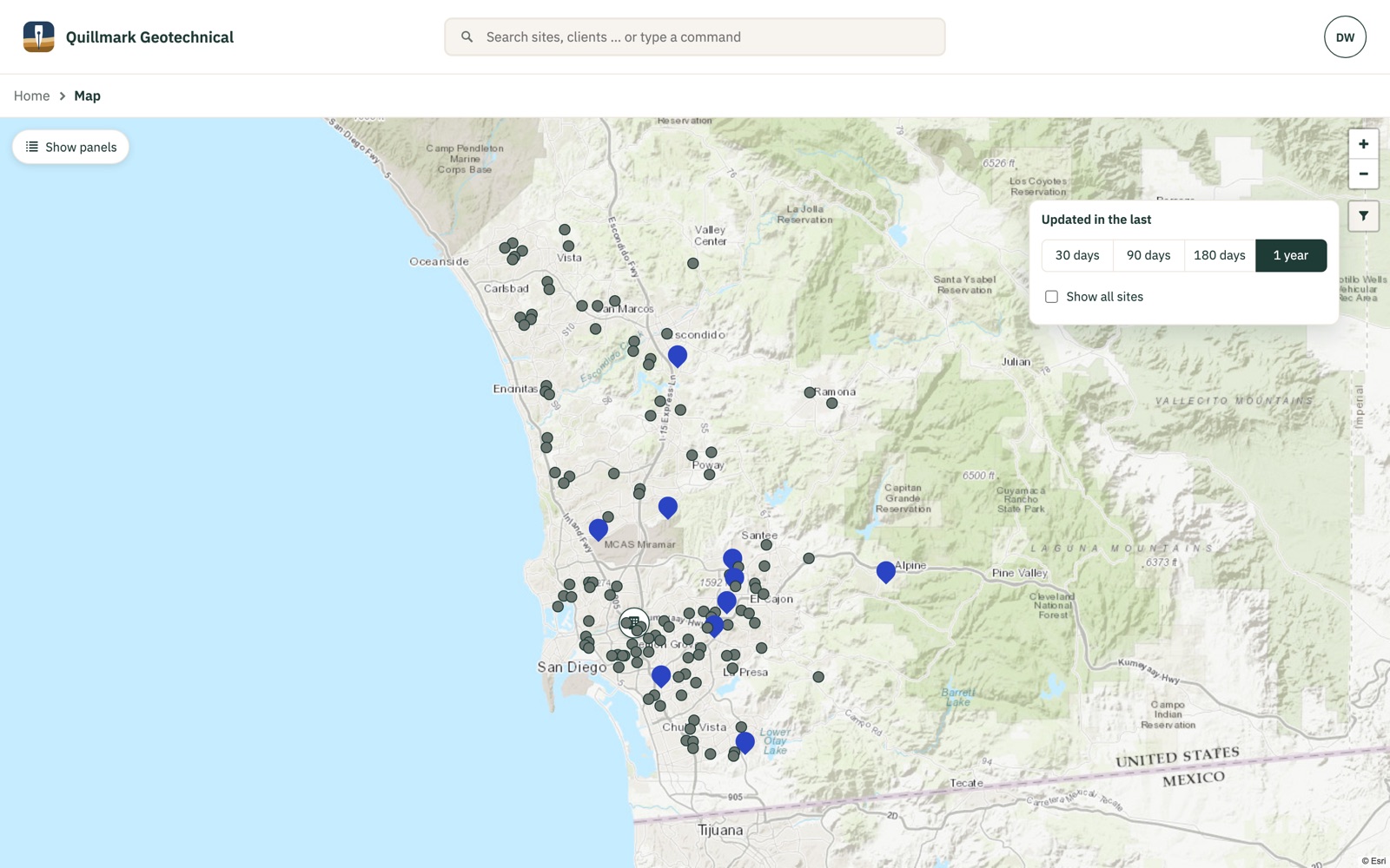
Decades of work, on one map
Every site the firm has worked on, pinned. When a new job comes in, see what the firm has already done nearby and open what was written there.
Narrow it to the last month or the last year, or show everything.
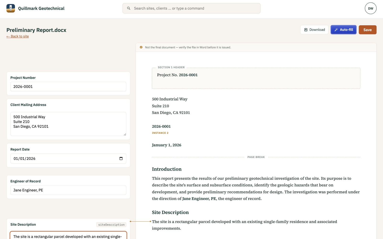
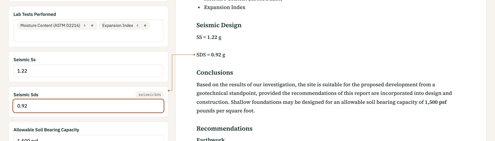
Your template, filled
Every blank your template marks shows up as a field. Auto-fill puts in what Terraclerk knows about the site; edit what needs editing and save. The .docx is the record.
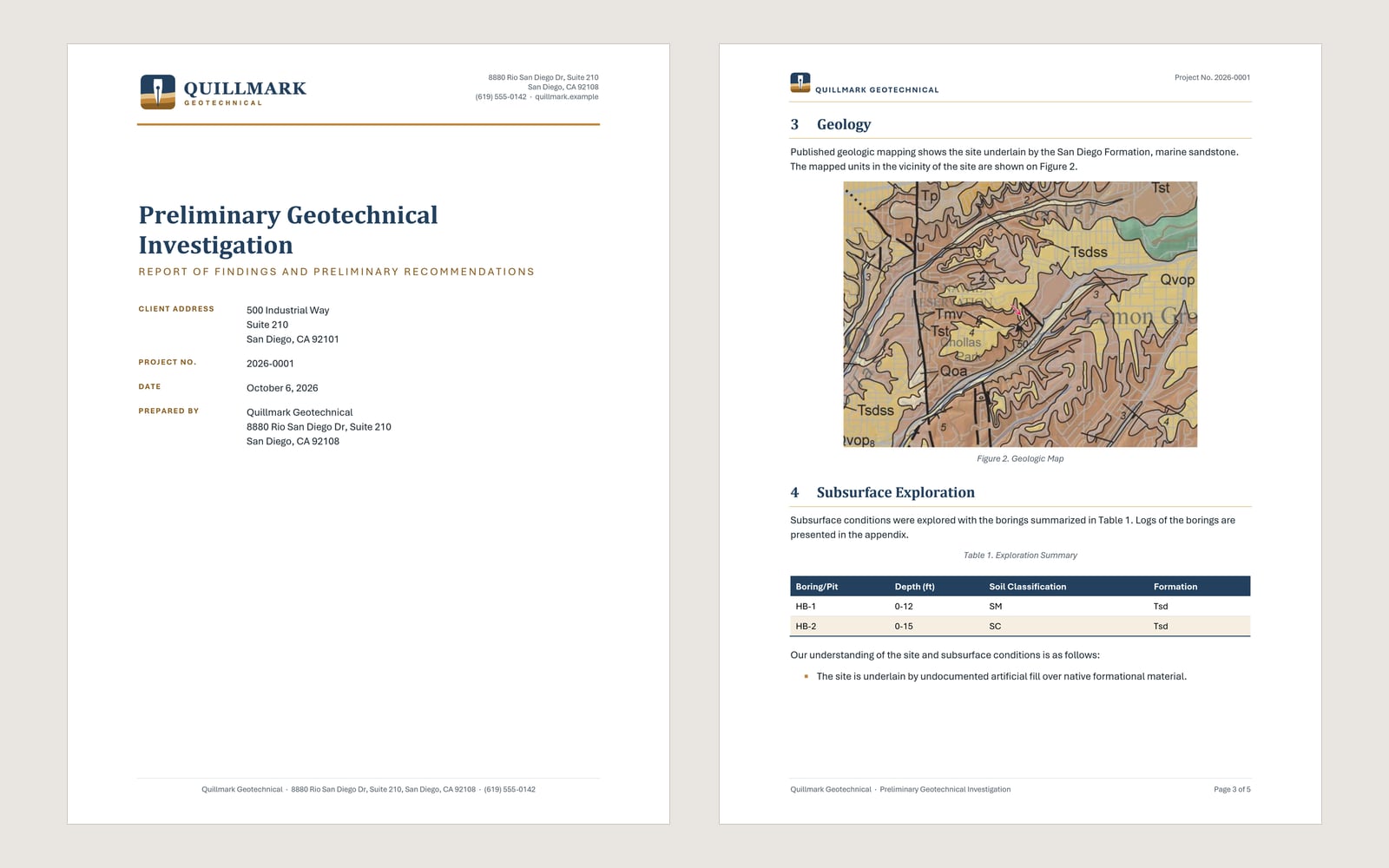
What comes out is your own document: your letterhead, your styles, your numbering, with the values in place.
- Pick lists come from your template, not ours
- See what changed before you save
Pulled directly from sources your engineers trust
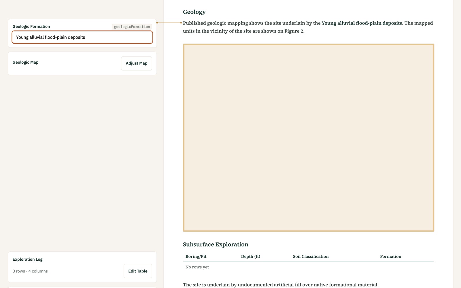
Terraclerk looks up the site’s own location in the sources your engineers would check by hand. For example:
- The USGS National Geologic Map Database, for the geologic map
- USGS seismic design values
- The ASCE Hazard Tool, through your firm’s own subscription
Each lands in its place in the report, ready to check.
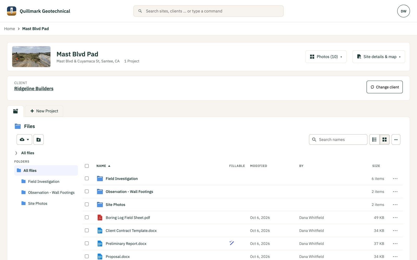
Everything about a site in one place
The site’s location, client, projects and files. Files live in your firm’s Dropbox; Terraclerk shows them and knows which ones it can fill.
Field photos, without downloading them
Every photo on a site, in one grid, grouped by the folder it was filed in. Open one to see it full size and step through the rest, or swipe through them on a phone.
Pick one to stand for the site, and it shows on the site’s page and on the map.
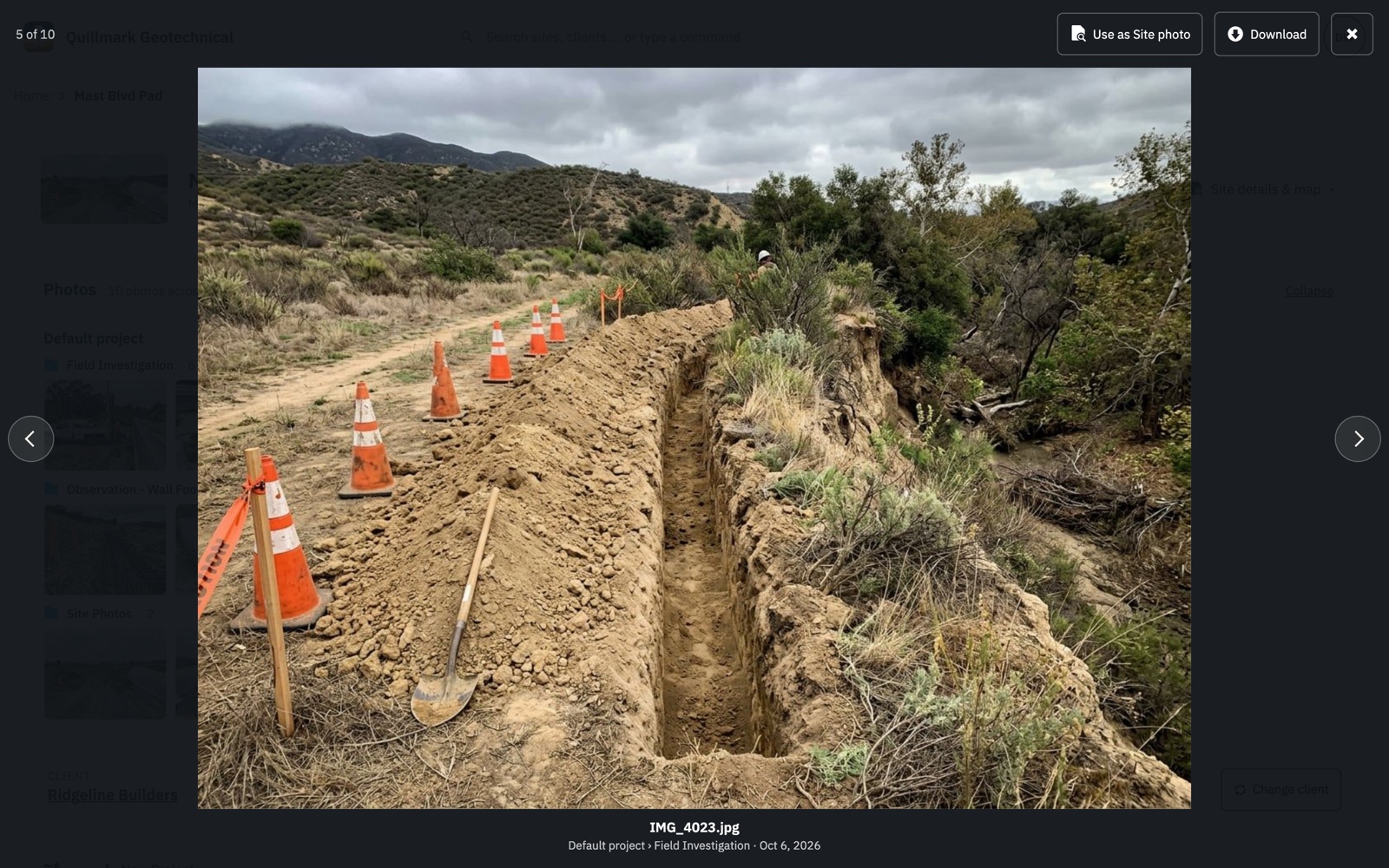
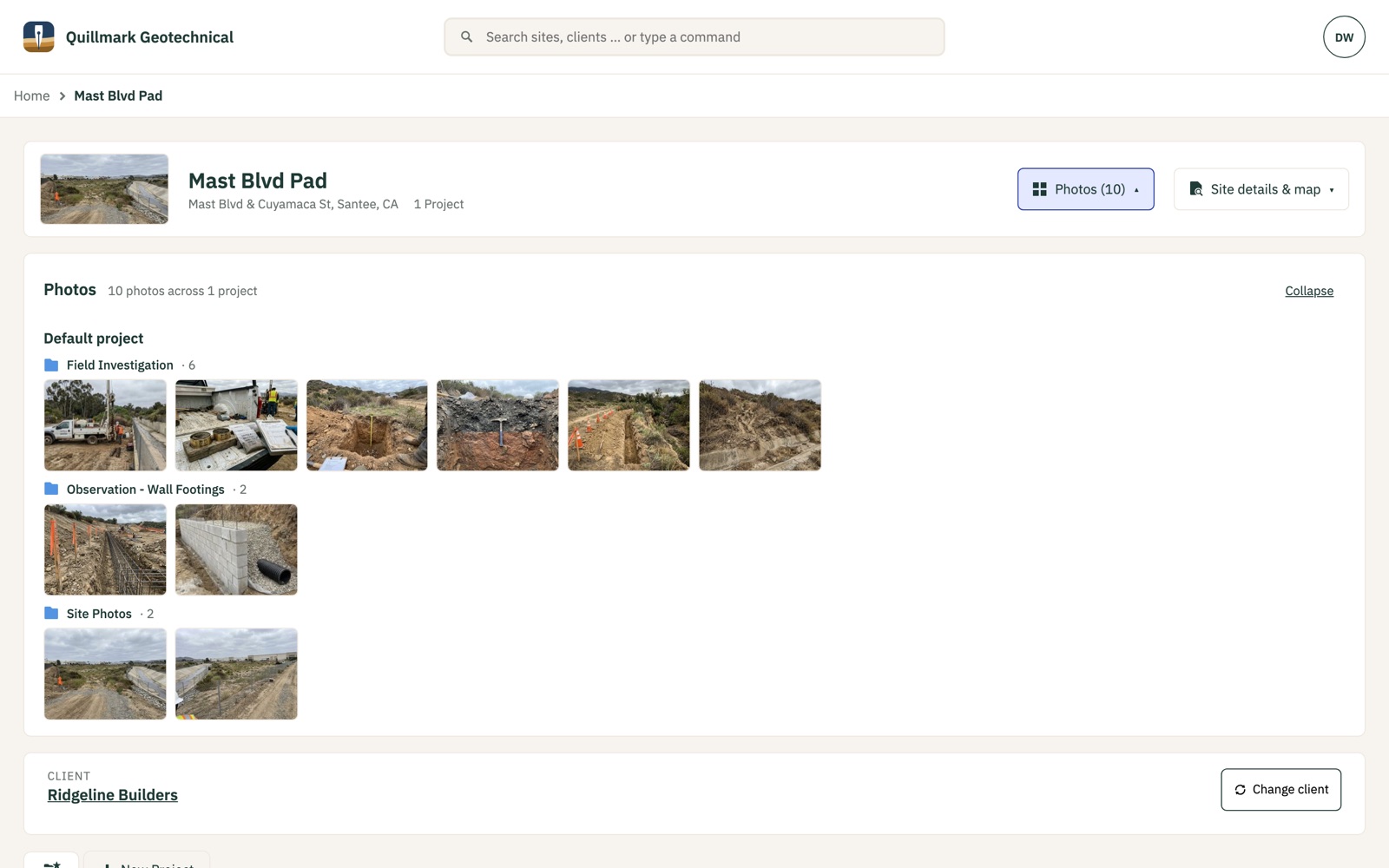
Simulated photos: the field photos in these screenshots were generated for the demo firm. No real site is shown.
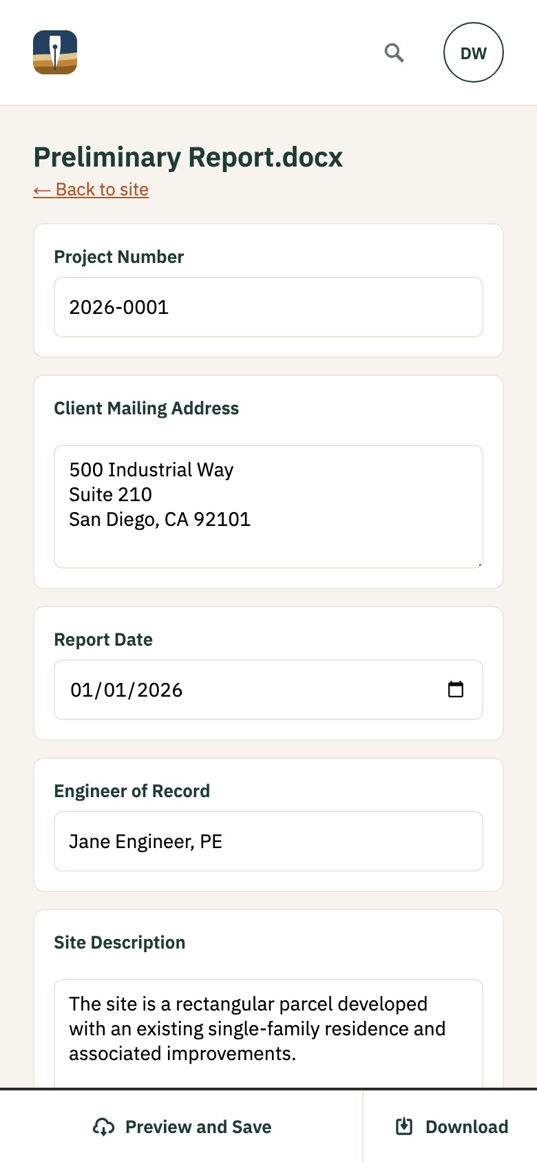
Works on a phone
Create a site from the curb, check what the parcel data says, and fill a report from wherever you are. No app to install.